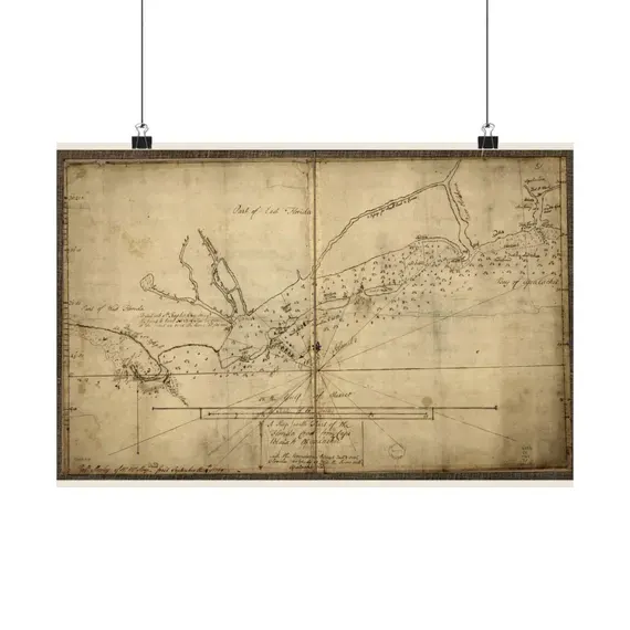
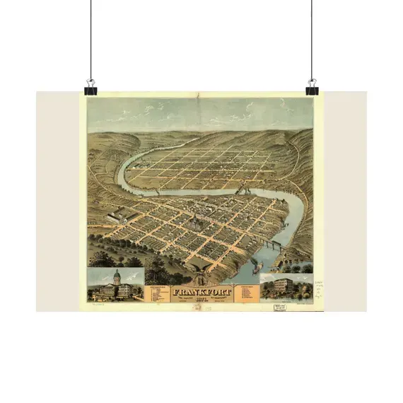
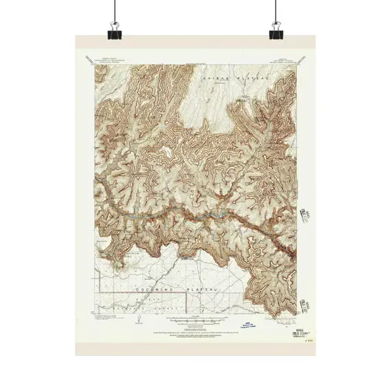
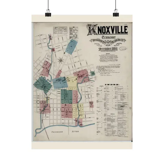

Antique Nautical Charts
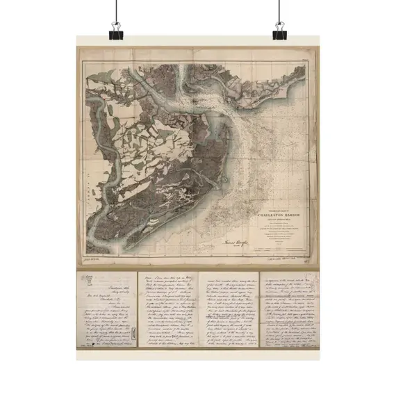
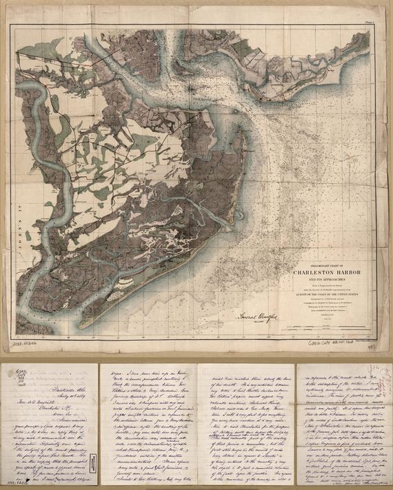
Charleston Harbor 1858
Restored from the original archive scan and made print-ready at a true 300 dpi. Buy it as a print we make and ship for you, or as files you print yourself in minutes.
from $42.95
Shop maps by what they are
Five shelves, named for exactly what is on them. 457 maps live right now.
Maps people come looking for
Places you recognise at a glance. Every map →
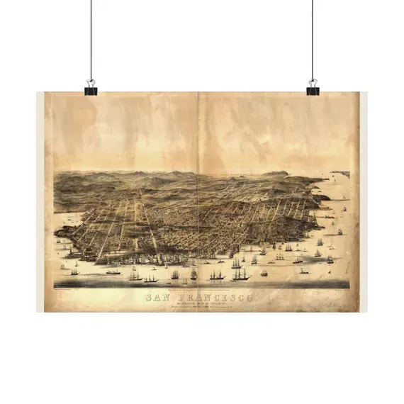
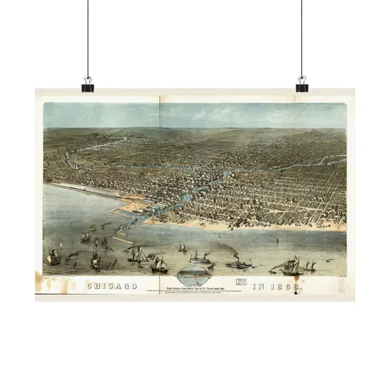
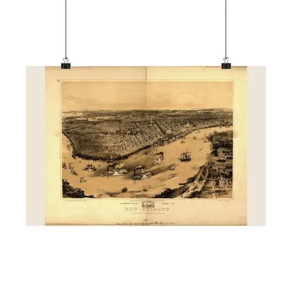
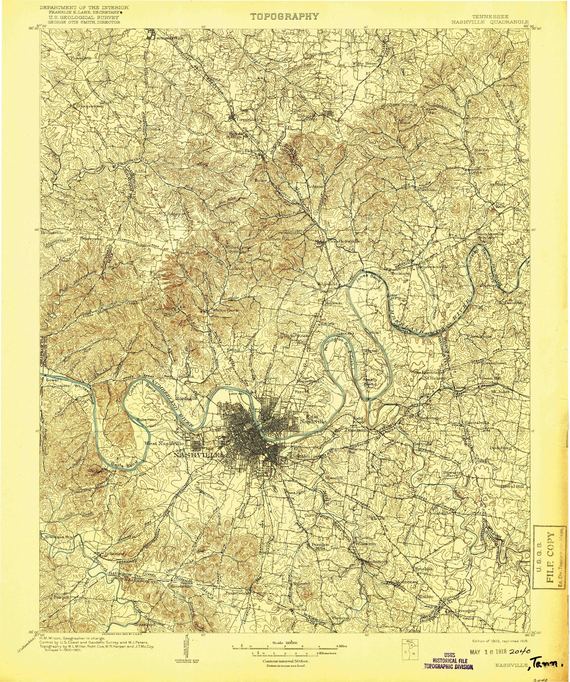
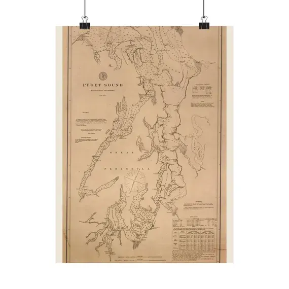
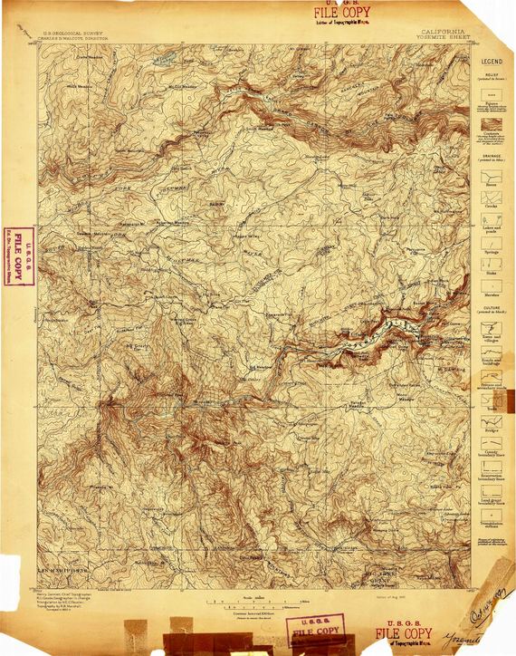
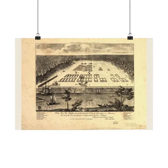
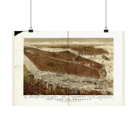
Digital downloads — the same maps, as files
Print-ready at 300 dpi, yours in minutes, print at any size listed. All 245 digital downloads →
Sizes, plainly
Matte poster prints
| Landscape 18 × 12 in · Portrait 12 × 16 in | $42.95 |
| Landscape 24 × 18 in · Portrait 18 × 24 in | $44.95 |
| Landscape 36 × 24 in · Portrait 24 × 36 in | $54.95 |
Each map is printed in the orientation it was drawn — most archive sheets are landscape, some are portrait — so every size comes in the shape of its map. Printed to order on matte poster stock by a US print partner, shipped rolled and unframed. The size you pick is chosen at checkout on the listing.
Digital downloads
| 8 × 10 in | $7–$9 every size, one file set |
| 11 × 14 in | |
| 16 × 20 in | |
| 18 × 24 in | |
| 24 × 36 in |
JPEGs at a true 300 dpi, all sizes in one purchase, delivered the moment the order clears. Print them at home, at a lab, or at any online printer.
Exact sizes for any one map are listed on that map's own page and on its Etsy listing — those are the authority. More in the FAQ.
Why MapShopCompany
Real archives, named every time
Library of Congress. USGS. NOAA. NASA. FAA. GEBCO. Every antique map begins as a public scan and every listing names its archive and its record number. You could find the scan yourself, free — what you pay for is that we already did, and made it worth framing.
Restored, not filtered
Scanner borders trimmed. A century of grey lifted without bleaching the age out — the foxing and the tea-stain are the point, not the flaw. Exported at a true 300 dpi, and when a size is enlarged past the scan's own resolution, the listing says so instead of hoping you do not notice.
Unframed, on purpose
Prints ship rolled and unframed, the way every serious map shop sells them, so you can match the frame to your wall instead of ours. Digital files you print wherever you like, as many times as you like.
Looking for a particular place?
Search every map Browse by state Ask for a map we do not have yet