Chesapeake Bay 1819
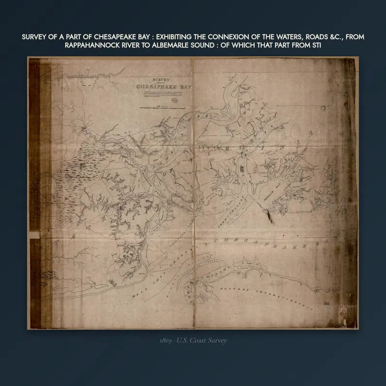
1819 Chesapeake Bay Map Print - Vintage Map of Chesapeake Bay Maryland Wall Art - Antique Nautical Chart Digital Download
$7
Print-ready files, delivered on the next page and by email the moment the payment goes through. Links good for 7 days.
This map in every format
- Digital files — this page
- Matte poster — from $42.95
Vintage map print — Chesapeake Bay, 1819. Digital download; you print it.
WHAT YOU GET - five JPEGs at 300 DPI
- 8x10 in (2.5 MB)
- 11x14 in (4.6 MB)
- 16x20 in (10.2 MB)
- 18x24 in (13.3 MB)
- 24x36 in (18.3 MB)
Every one of the five sizes is TRUE 300 DPI from the original scan - nothing is enlarged.
WHAT I ACTUALLY DID TO IT
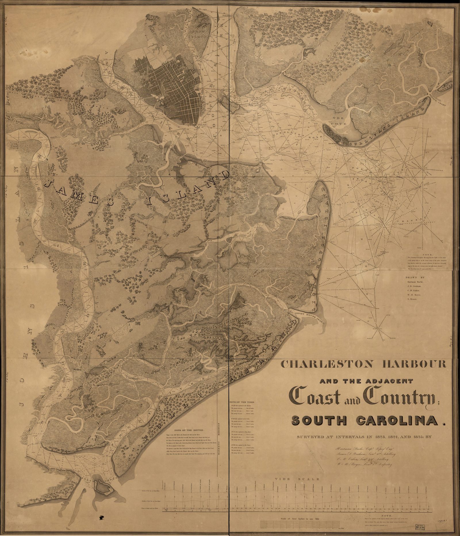
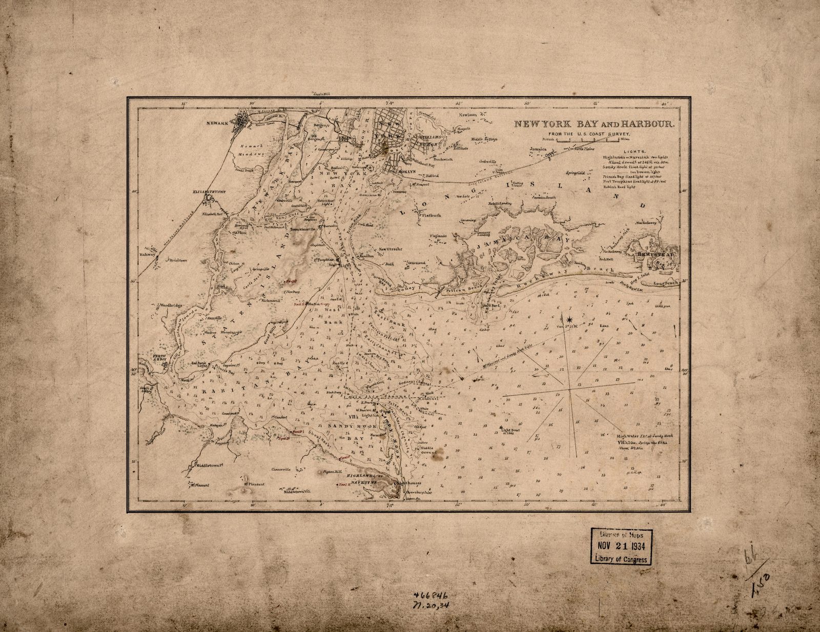
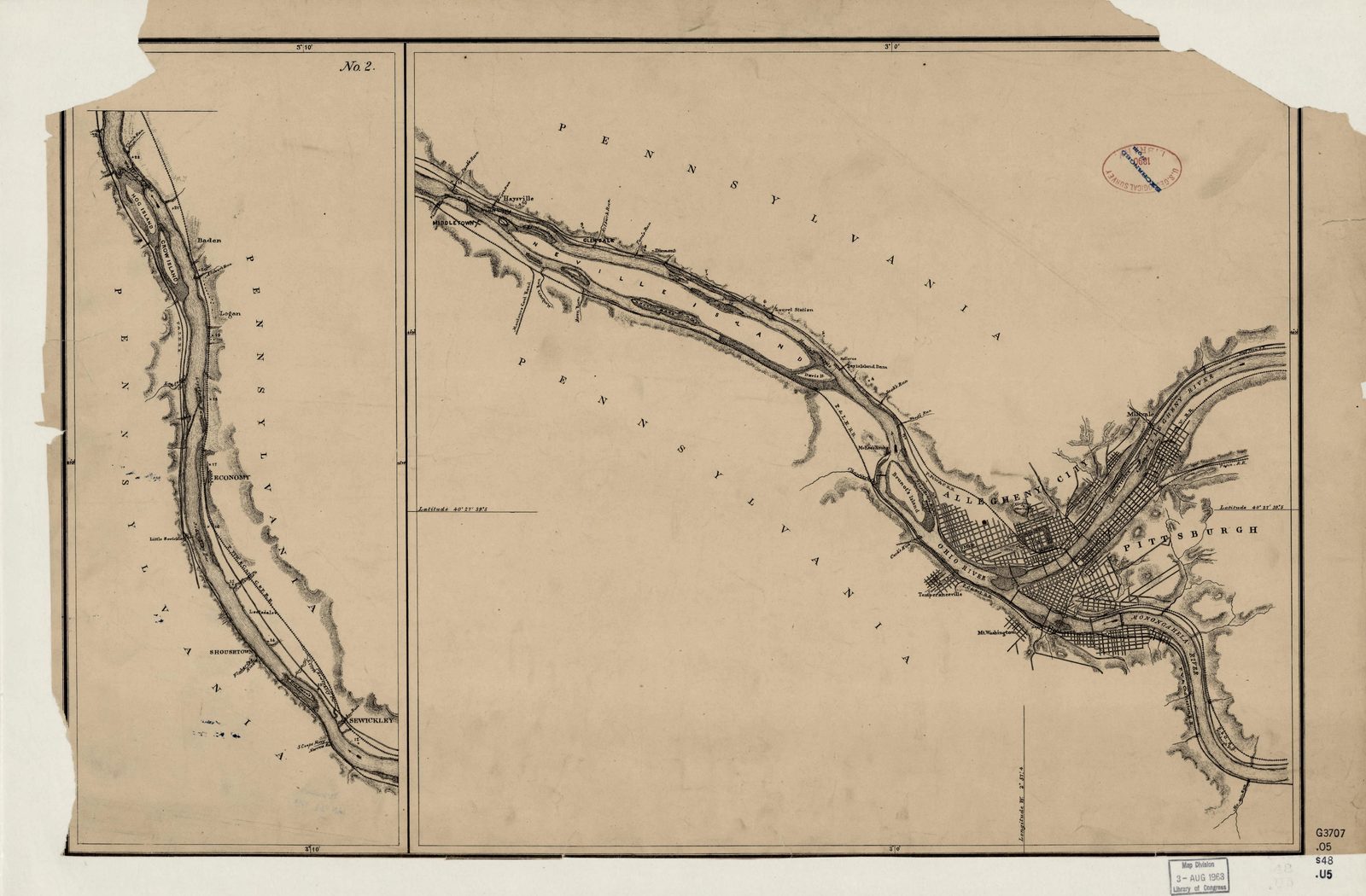
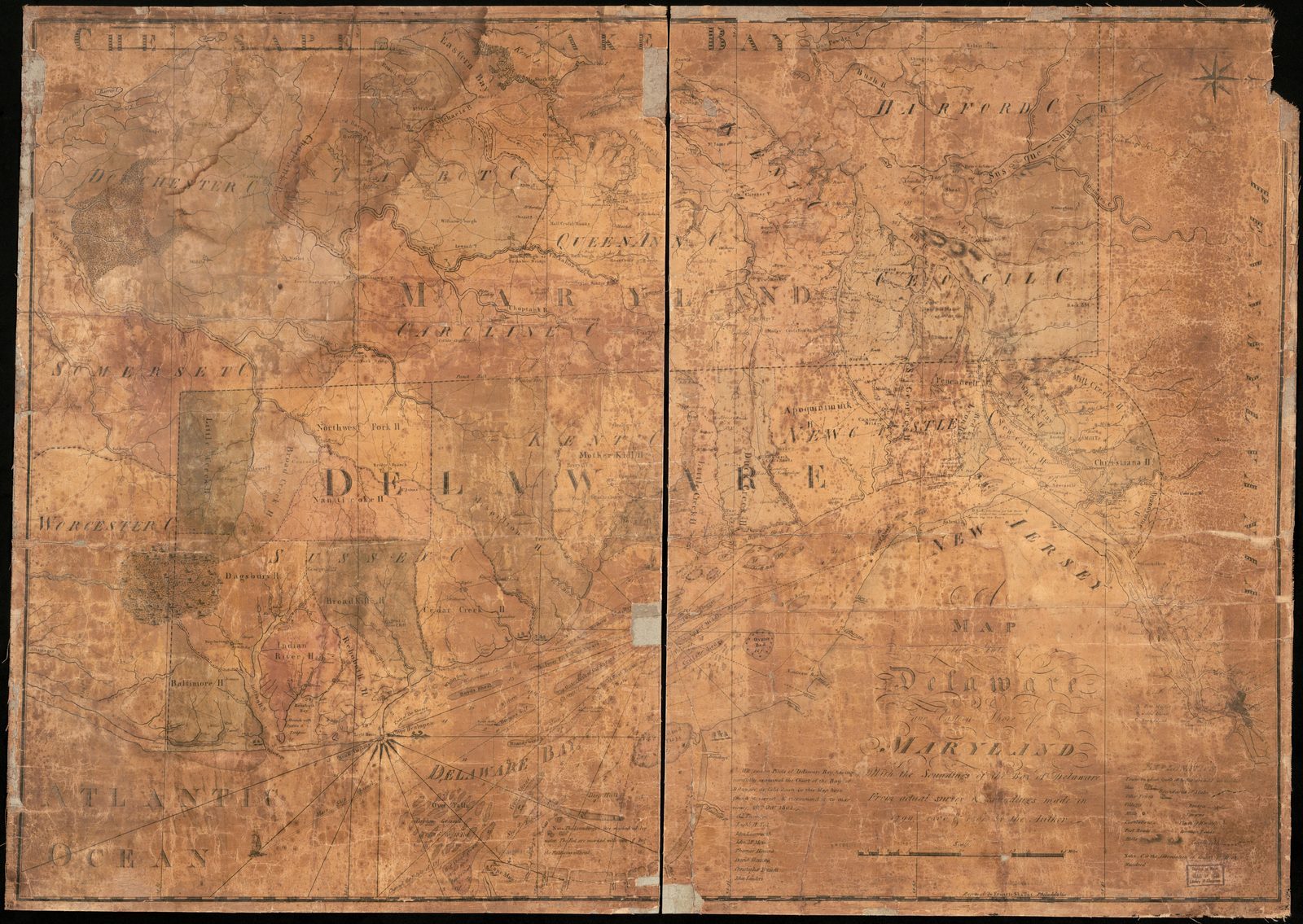
The library scan arrived with the scanner surround still on it and 170 years of grey in the paper. I trimmed the surround, stretched the tone back to warm paper, and took one pixel of scanner speckle off - not enough to soften a single depth sounding, because the soundings are the part worth looking at. The foxing and the tea-stain are still there. They are the age, and bleaching them out would sell you a different thing.
HONEST ABOUT THE SOURCE
The original scan is a public domain record from the Library of Congress (g3842). You could download it yourself for nothing. What you are paying for is the restoration and the five sized, print-ready files - not access to the map.
HOW TO PRINT IT
Any print shop, any online printer, or at home. Ask for matte or a cotton rag if they offer it. The files are RGB at 300 DPI with the density tagged, so a shop will size them correctly without asking.
NOT INCLUDED
No physical item is shipped. No frame. This is a digital download.
Source: Library of Congress, U.S. Coast Survey, archive record · 1819
Listing #4562912358 on Etsy · see it on Etsy