Your city from a balloon that never existed — and your street in 1905.
Two archives, one century. Panoramic "bird's-eye" lithographs drew whole cities building-by-building from imaginary altitude. Sanborn fire-insurance maps inked every block, every address. Both live at the Library of Congress. Both are yours.
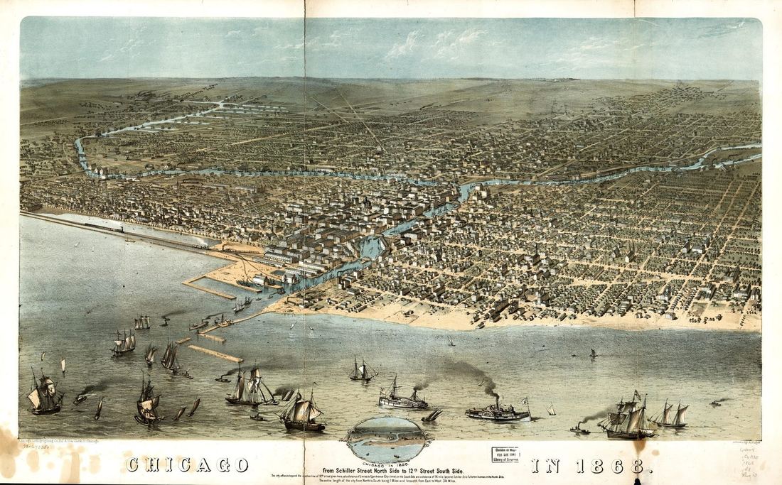 Chicago, 1868
How it works
Search both collections live below. Bird's-eye views cover ~1,500 American towns (1847–1929); Sanborn atlases cover 12,000 more, sheet by sheet down to your block. Tell us the city — and for Sanborn, the street — and we pull and restore the exact sheet.
Source: Library of Congress — Panoramic Maps collection & Sanborn Fire Insurance Maps. No known restrictions on publication.
Restored this week
Restored launch samples below — Chicago 1868, New York 1870, Nashville 1897.
Prefer to browse finished pieces? Our Etsy shop carries ready-to-print maps from every open engine.