Savannah 1734
1734 Savannah Map Print - Vintage Map of Savannah Georgia Wall Art - Antique Bird's-Eye View City Map Matte Poster
$42.95 – $54.95
Printed to order in the US and shipped rolled in a tube, unframed — about 10 days in production, then carrier time. Shipping is added at checkout. Card payment runs on Stripe's own page.
Sizes, as listed
| 18″ x 12″ | $42.95 |
| 24″ x 18″ | $44.95 |
| 36″ x 24″ | $54.95 |
Vintage map print — Savannah, 1734. Restored map, as an unframed matte poster.
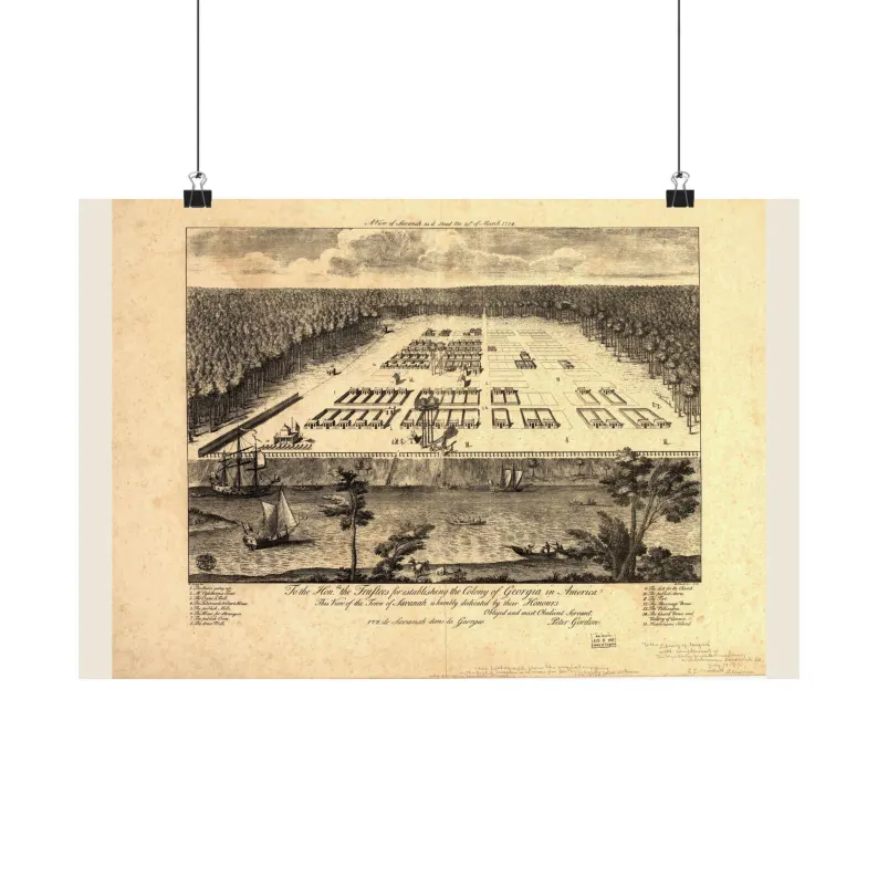
Shows Savannah one year after its founding, seen from above the Savannah River: the town's first wards and squares laid out in a cleared rectangle of pine forest, rows of small houses along the lots, the palisade and the guard house along the bluff, the crane and the stairs down to the landing, and the river below with ships, boats and Hutchinson's Island. There are no railways here — none existed in 1734. Drawn by Peter Gordon and engraved by P. Fourdrinier (published 1735) with a numbered key to fifteen features, from Oglethorpe's tent to the fort; the Library of Congress sheet we restore is an 1876 lithographic reprint of that engraving. Scanned from the Library of Congress, Geography & Map Division, cleaned up for printing while keeping the original linework and labels.
SIZES
18" x 12"
24" x 18"
36" x 24"
PAPER
matte paper, printed with pigmented inks.
FRAME
Not included. The poster ships unframed, rolled in a tube.
Printed to order in the US. Sourced from public-domain records. No modern additions.
Source: Library of Congress, archive record · depicts 1734, published 1735
Listing #4567337152 on Etsy · see it on Etsy