The sky over your home airport.
Every VFR sectional chart in America is published free at full 300-dpi print resolution. Give us your airport and we crop, finish and deliver the piece of sky you fly in — or the one over your house.
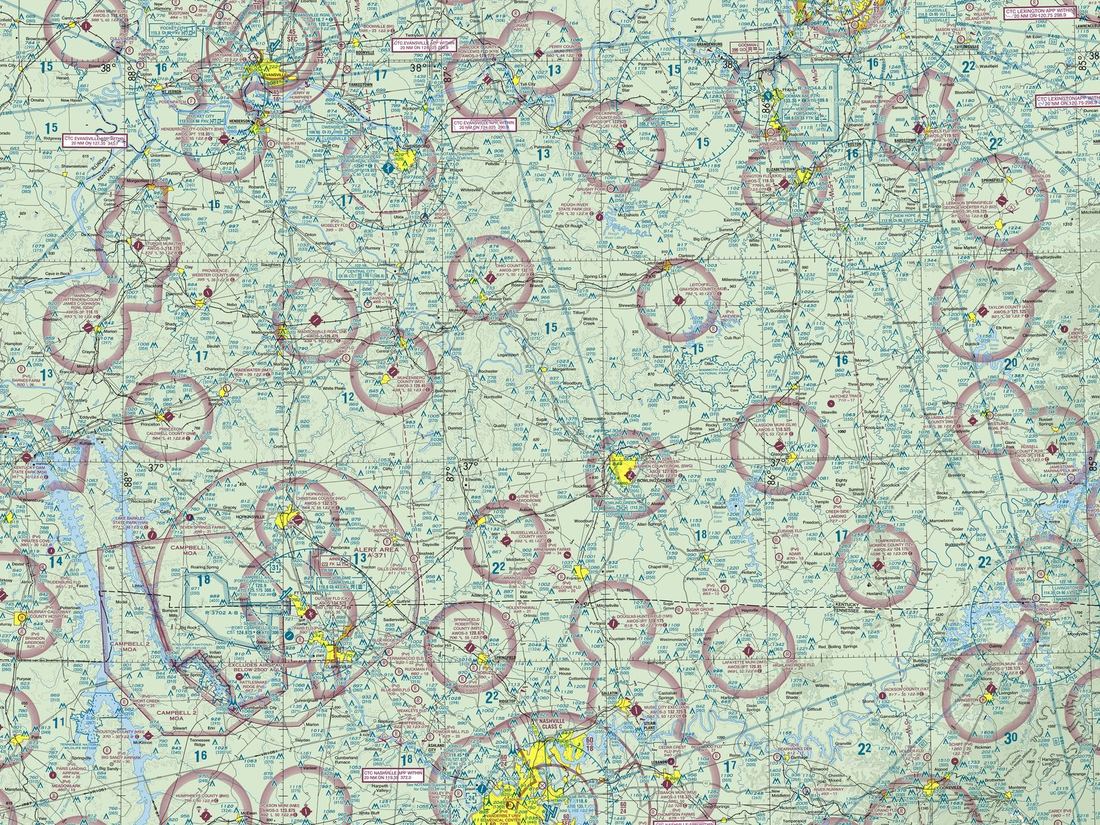 Nashville International (BNA)
How it works
Name an airport code or a town. We pull the current sectional, center your point, and produce a 24×18 print crop with the chart's own colors — airspace rings, VOR roses, the works. Decor, not navigation: charts expire every 56 days, and we say so on the listing.
Source: Federal Aviation Administration, Aeronautical Information Services. US Government work — public domain. Sold as wall art, not for navigation.
Restored this week
Launch sample below — the St. Louis sectional over Nashville International.
Prefer to browse finished pieces? Our Etsy shop carries ready-to-print maps from every open engine.