THE WATERS
The waters you know, as they were first charted.
Hand-surveyed harbor and coast charts from the 1800s — soundings, shoals and all — restored to print quality from Library of Congress scans.
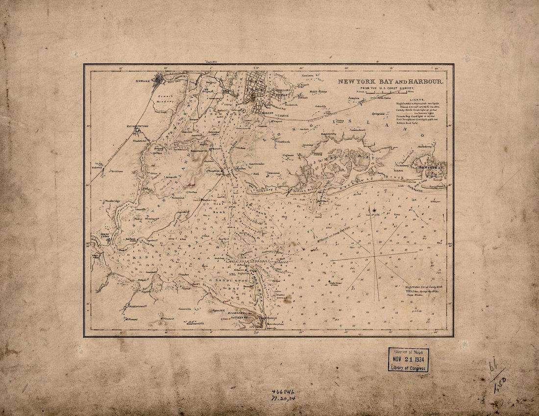 New York Harbor, 1836
How it works
Tell us the harbor, bay, lake or coast that matters to you. We search a working index of 338 restored-ready charts (1607–1993) plus the full Library of Congress map vaults. If your waters were ever charted, we find the sheet, restore it, and deliver six print-ready files.
Source: U.S. Coast Survey charts via the Library of Congress, Geography & Map Division. Public domain.
SEE IF WE HAVE YOUR WATERS 338 charts, 1607–1993, searched as you type
REQUEST SLIPNº ___
Restored this week
44 restored charts are listed now — read live off the shelf, not a fixed count.
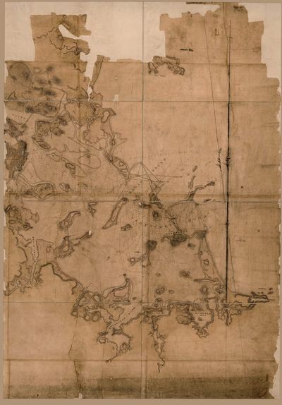
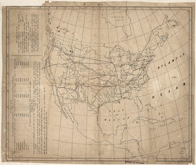
Prefer to browse finished pieces? Our Etsy shop carries ready-to-print maps from every open engine.