
Antique Nautical Charts
The waters you know, as they were first charted.
Coast Survey harbour and coast charts — every sounding, shoal and sandbar, as the surveyors found them, restored from Library of Congress scans.
44 maps on this shelf


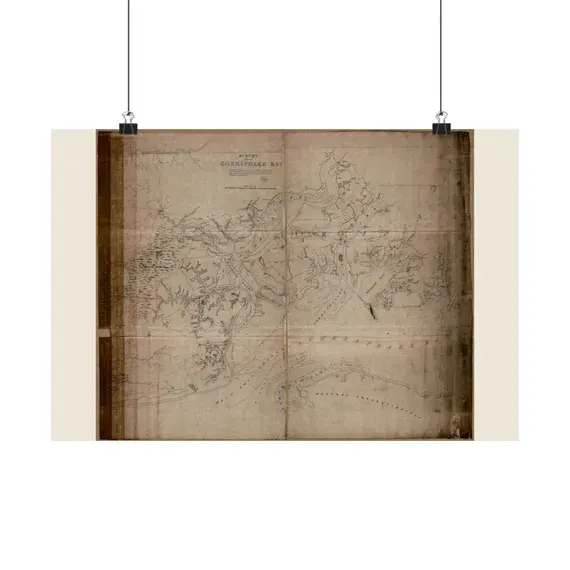

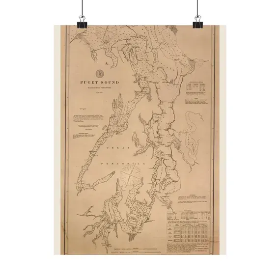


Matte poster print
Charleston Harbour and the Adjacent Coast 1825
from $42.95
Order the print on Etsy →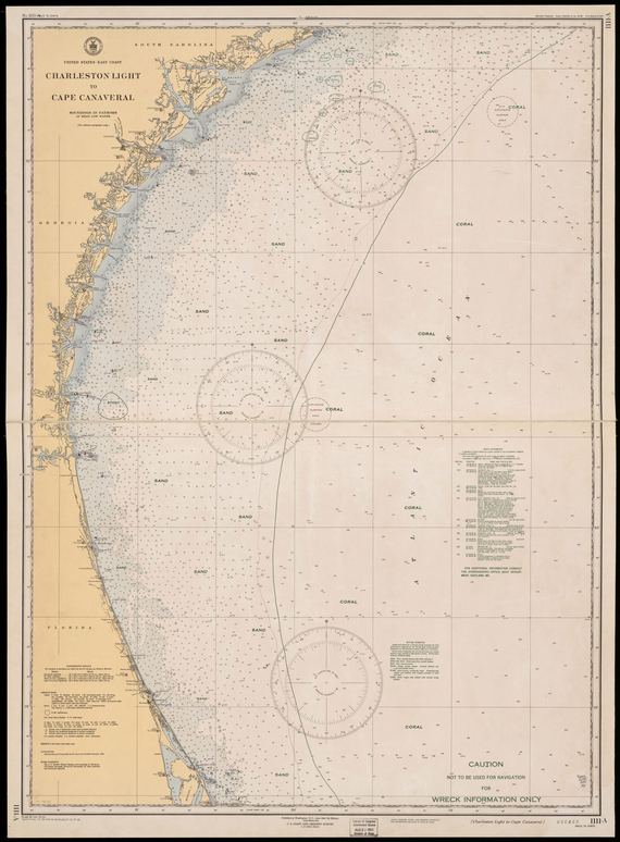
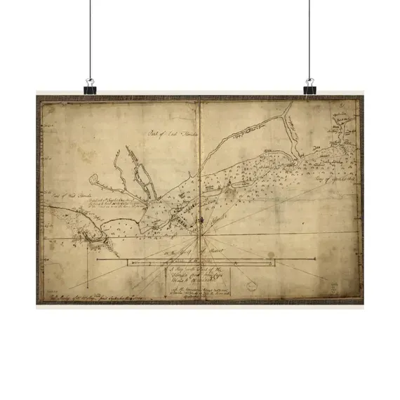


See all 44 antique nautical charts →
Sizes, plainly
Matte poster prints
| Landscape 18 × 12 in · Portrait 12 × 16 in | $42.95 |
| Landscape 24 × 18 in · Portrait 18 × 24 in | $44.95 |
| Landscape 36 × 24 in · Portrait 24 × 36 in | $54.95 |
Each map is printed in the orientation it was drawn — most archive sheets are landscape, some are portrait — so every size comes in the shape of its map. Printed to order on matte poster stock by a US print partner, shipped rolled and unframed. The size you pick is chosen at checkout on the listing.
Digital downloads
| 8 × 10 in | $7–$9 every size, one file set |
| 11 × 14 in | |
| 16 × 20 in | |
| 18 × 24 in | |
| 24 × 36 in |
JPEGs at a true 300 dpi, all sizes in one purchase, delivered the moment the order clears. Print them at home, at a lab, or at any online printer.
Exact sizes for any one map are listed on that map's own page and on its Etsy listing — those are the authority. More in the FAQ.