
Topographic Maps
Your mountain, your hometown, the sheet that drew it first.
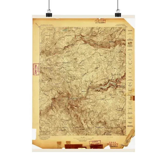
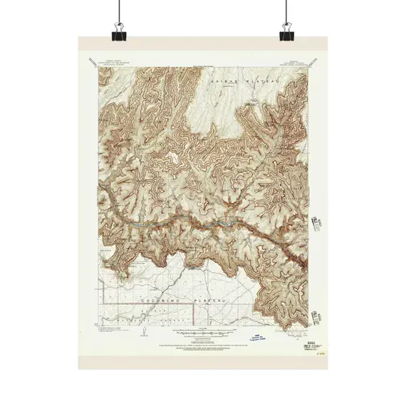
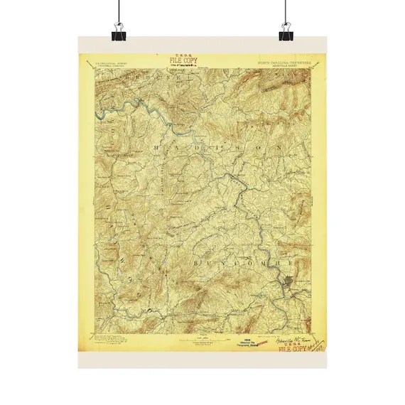
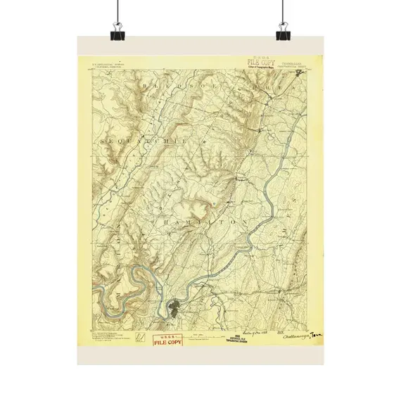
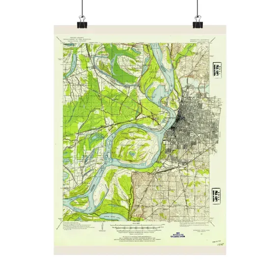
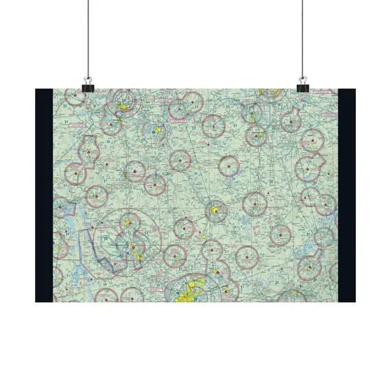
USGS quadrangles, relief sheets and survey charts — contour lines, elevations and the shape of the ground itself.
7 maps on this shelf
Sizes, plainly
Matte poster prints
| Landscape 18 × 12 in · Portrait 12 × 16 in | $42.95 |
| Landscape 24 × 18 in · Portrait 18 × 24 in | $44.95 |
| Landscape 36 × 24 in · Portrait 24 × 36 in | $54.95 |
Each map is printed in the orientation it was drawn — most archive sheets are landscape, some are portrait — so every size comes in the shape of its map. Printed to order on matte poster stock by a US print partner, shipped rolled and unframed. The size you pick is chosen at checkout on the listing.
Digital downloads
| 8 × 10 in | $7–$9 every size, one file set |
| 11 × 14 in | |
| 16 × 20 in | |
| 18 × 24 in | |
| 24 × 36 in |
JPEGs at a true 300 dpi, all sizes in one purchase, delivered the moment the order clears. Print them at home, at a lab, or at any online printer.
Exact sizes for any one map are listed on that map's own page and on its Etsy listing — those are the authority. More in the FAQ.