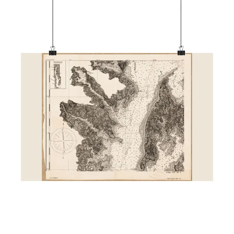
Chesapeake Bay 1862
1862 Chesapeake Bay Map Print - Vintage Map of Chesapeake Bay Maryland Wall Art - Antique Nautical Chart Matte Poster
$42.95 – $54.95
Printed and shipped from the US through our Etsy shop; the size is chosen at checkout there.
Sizes, as listed
| 18″ x 12″ | $42.95 |
| 24″ x 18″ | $44.95 |
| 36″ x 24″ | $54.95 |
Vintage map print — Chesapeake Bay, 1862. Restored map, as an unframed matte poster.
Shows soundings, shoals and the shoreline as the survey recorded them. Scanned from the Library of Congress, Geography & Map Division, cleaned up for printing while keeping the original linework and labels.
SIZES
18" x 12"
24" x 18"
36" x 24"
PAPER
matte paper, printed with pigmented inks.
FRAME
Not included. The poster ships unframed, rolled in a tube.
Printed to order in the US. Sourced from public-domain records. No modern additions.
Source: U.S. Coast Survey (Chesapeake Bay sheet series) · 1862 — exact archive record not yet verified
Listing #4571629865 on Etsy · see it on Etsy
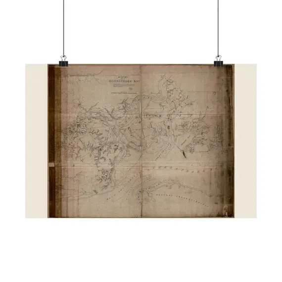
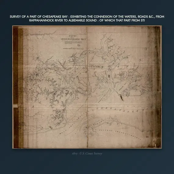
The same place, other years and views
The same era on this shelf

Potomac River 1862
from $42.95

Sea Coast of South Carolina and Georgia 1863
from $42.95

Atlantic Coast 1861
from $42.95

Rappahannock River 1863
from $42.95

Charleston Harbor 1863
from $42.95

Pensacola Bay 1861
from $42.95