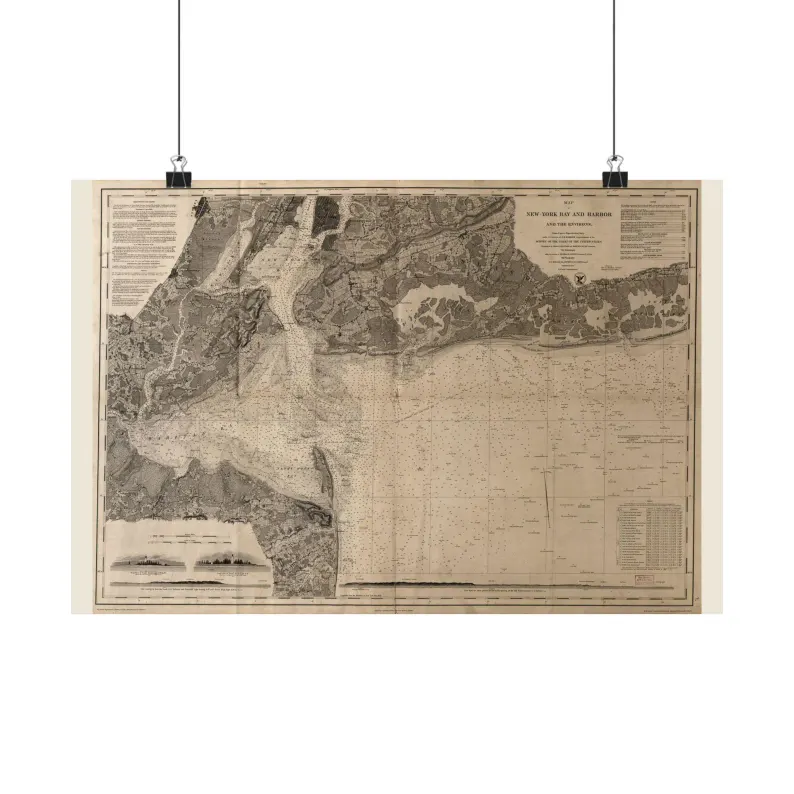
New York Bay and Harbor 1845
1845 New York Bay and Harbor Map Print - Vintage Map of New York Bay and Harbor Wall Art - Antique Nautical Chart Matte Poster
$42.95 – $54.95
Printed and shipped from the US through our Etsy shop; the size is chosen at checkout there.
This map in every format
- Matte poster — this page
- Digital files — $7
Sizes, as listed
| 18″ x 12″ | $42.95 |
| 24″ x 18″ | $44.95 |
| 36″ x 24″ | $54.95 |
Vintage map print — New York Bay and Harbor, 1845. Restored map, as an unframed matte poster.
Shows soundings, shoals and the shoreline as the survey recorded them. Scanned from the Library of Congress, Geography & Map Division, cleaned up for printing while keeping the original linework and labels.
SIZES
18" x 12"
24" x 18"
36" x 24"
PAPER
matte paper, printed with pigmented inks.
FRAME
Not included. The poster ships unframed, rolled in a tube.
Printed to order in the US. Sourced from public-domain records. No modern additions.
Source: Library of Congress, archive record · 1845
Listing #4571661907 on Etsy · see it on Etsy
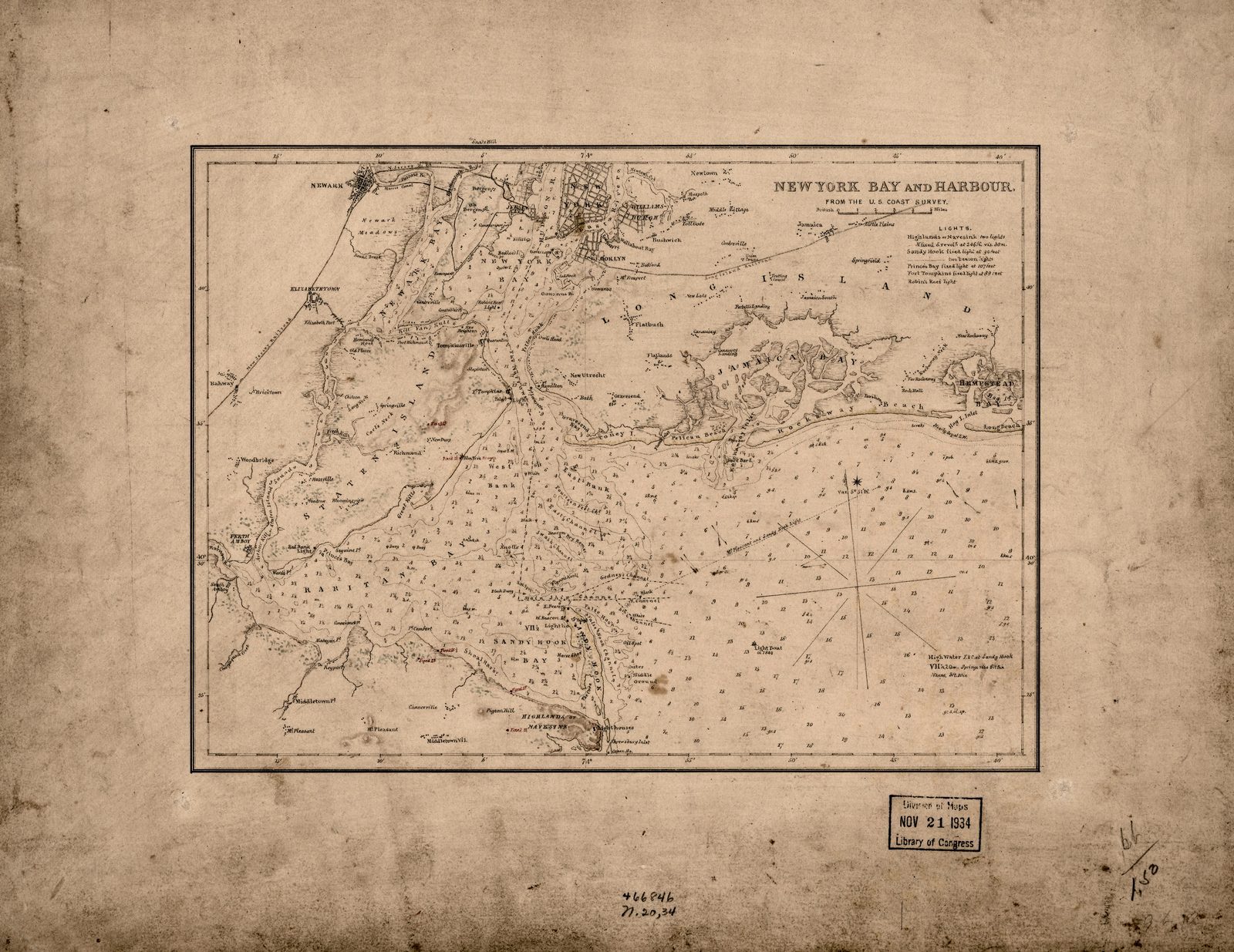
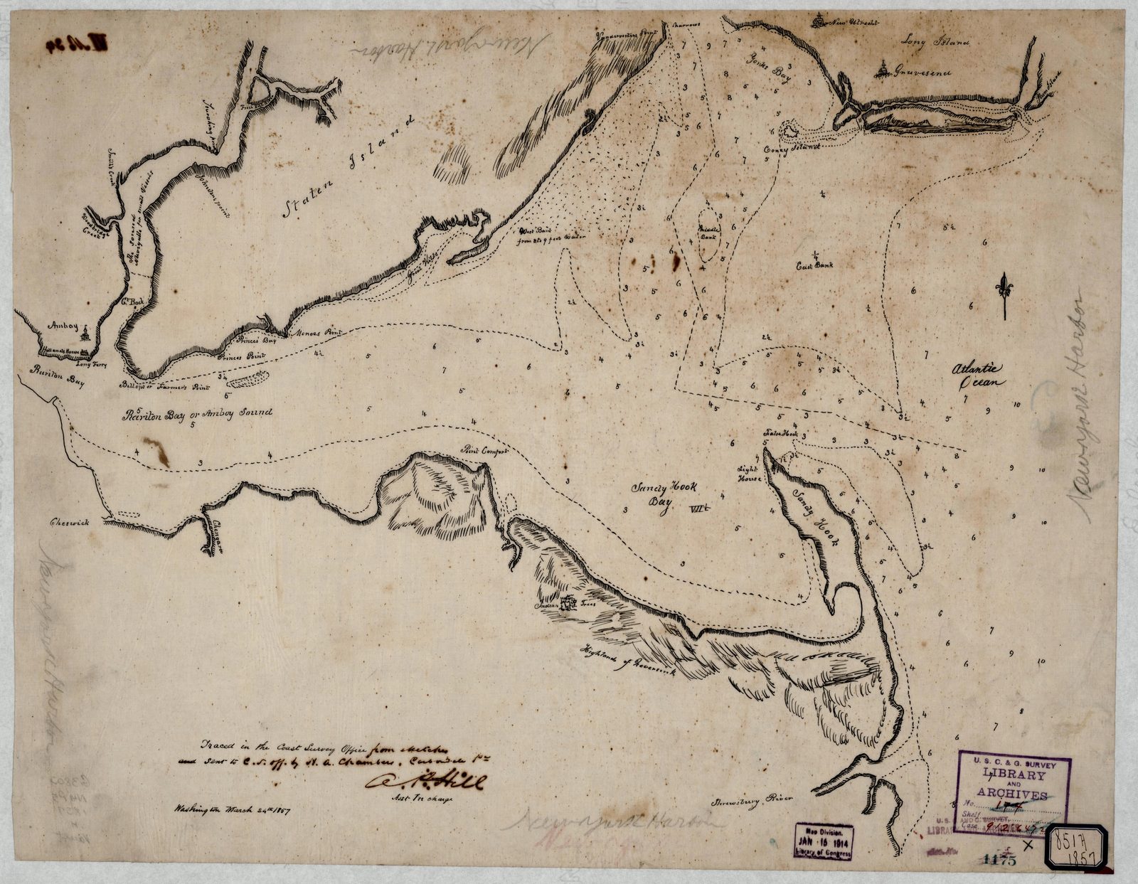
The same place, other years and views




The same era on this shelf

Pensacola Bay 1857
from $42.95

Mississippi River Delta 1858
from $42.95

Charleston Harbor 1858
from $42.95

San Francisco Bay 1859
from $42.95

Atlantic Coast 1861
from $42.95

Pensacola Bay 1861
from $42.95