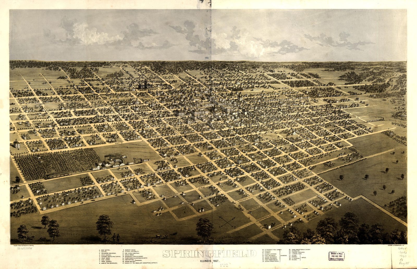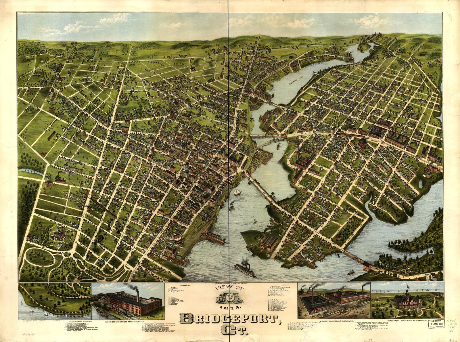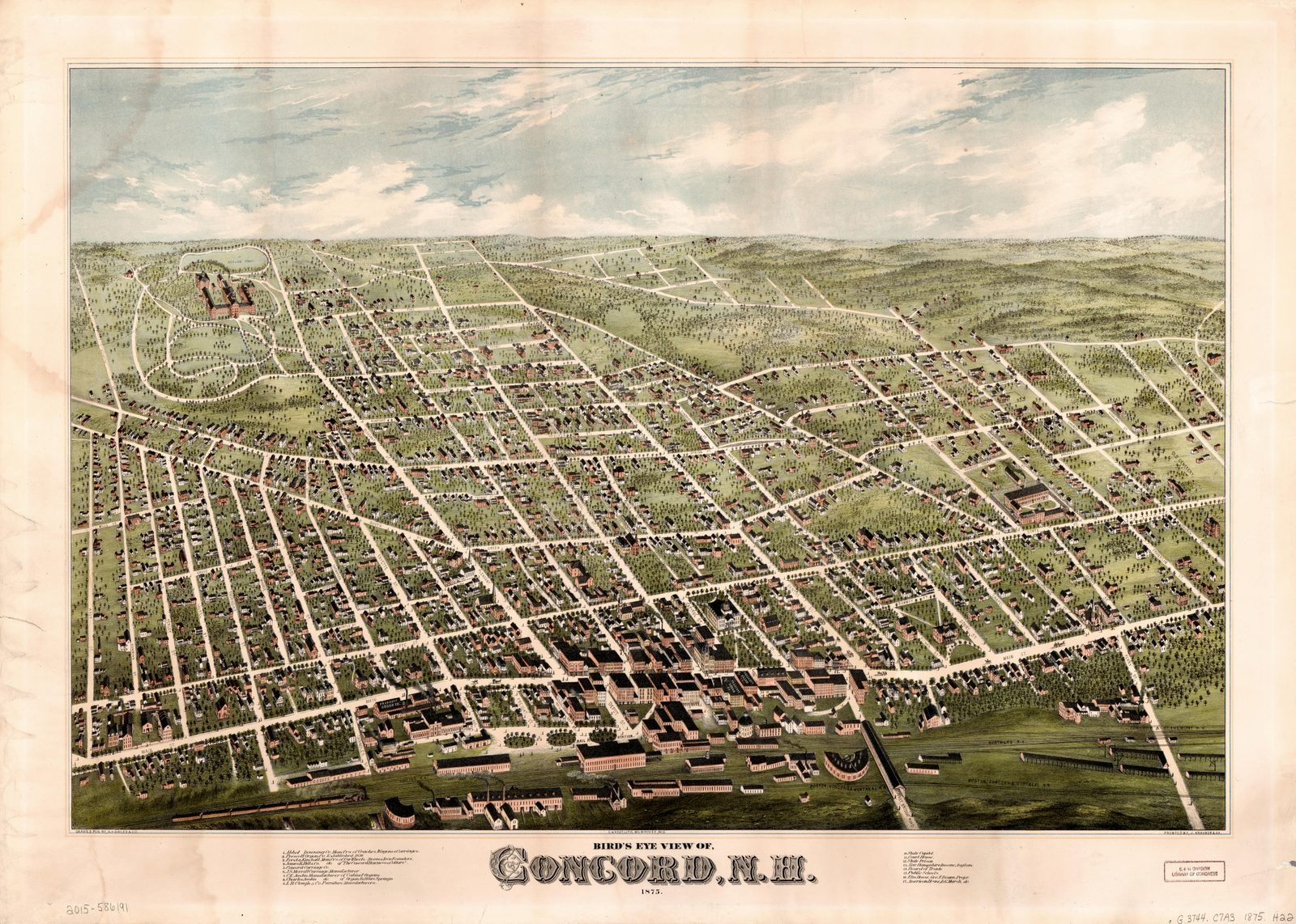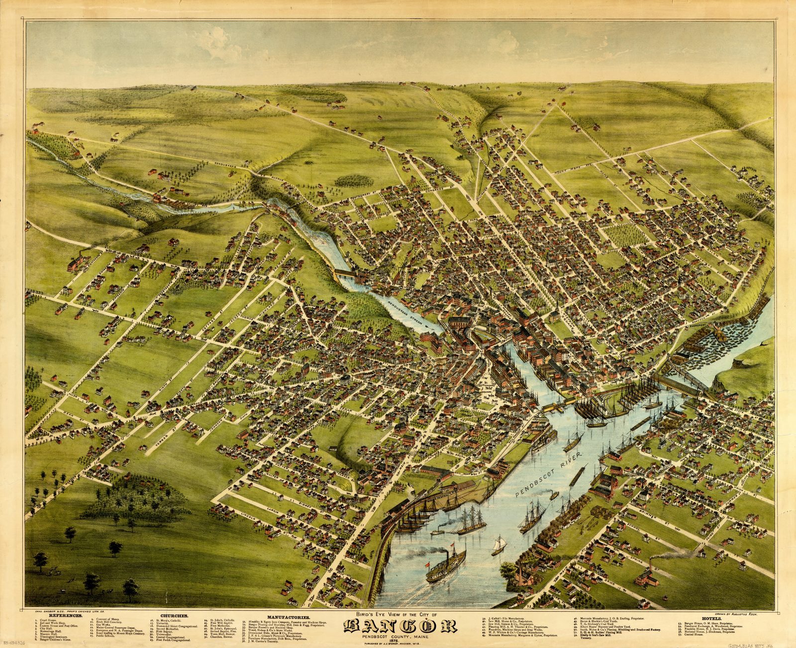
Springfield 1875
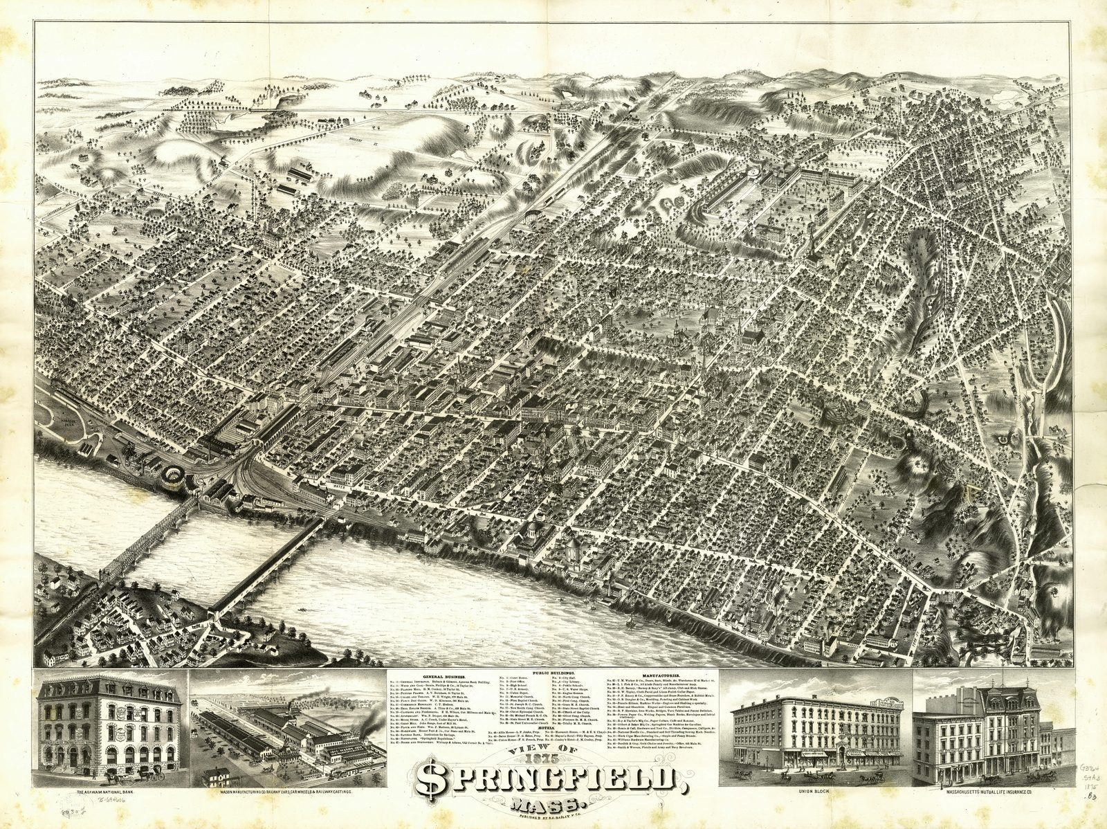
1875 Springfield Map Print - Vintage Map of Springfield Massachusetts Wall Art - Antique Bird's-Eye View City Map Print
$7
Sold through our Etsy shop; the files download the moment the order goes through.
This map in every format
- Digital files — this page
- Matte poster — from $42.95
Vintage map print — Springfield, Massachusetts, 1875. Digital download; you print it.
A restored 1875 bird's-eye view of Springfield, Massachusetts. Shows the streets and buildings as the lithographer drew them. Scanned from the Library of Congress, Geography & Map Division, cleaned up for printing while keeping the original linework and labels.
You get 5 print-ready JPEG files at 300 DPI, the moment you buy:
- 8x10 in (3.6 MB)
- 11x14 in (7.1 MB)
- 16x20 in (14 MB)
- 18x24 in (17.2 MB) — re-encoded q88, pixels unchanged
- 24x36 in (18.5 MB) — re-encoded q76, pixels unchanged
Every size is a true 300 DPI from the original — nothing is enlarged.
Sourced from public-domain records. No modern additions. The original scan is free to download from the Library of Congress, Geography & Map Division; what you are paying for is the restoration and the sized, print-ready files.
How to print: any print shop, online printer, or at home. Ask for matte paper or a cotton rag if they offer it. The files are RGB at 300 DPI with the density tagged, so a shop will size them without asking.
Digital download only. Nothing ships in the mail, and there is no frame.
Source: Library of Congress, archive record · 1875
Listing #4568384406 on Etsy · see it on Etsy