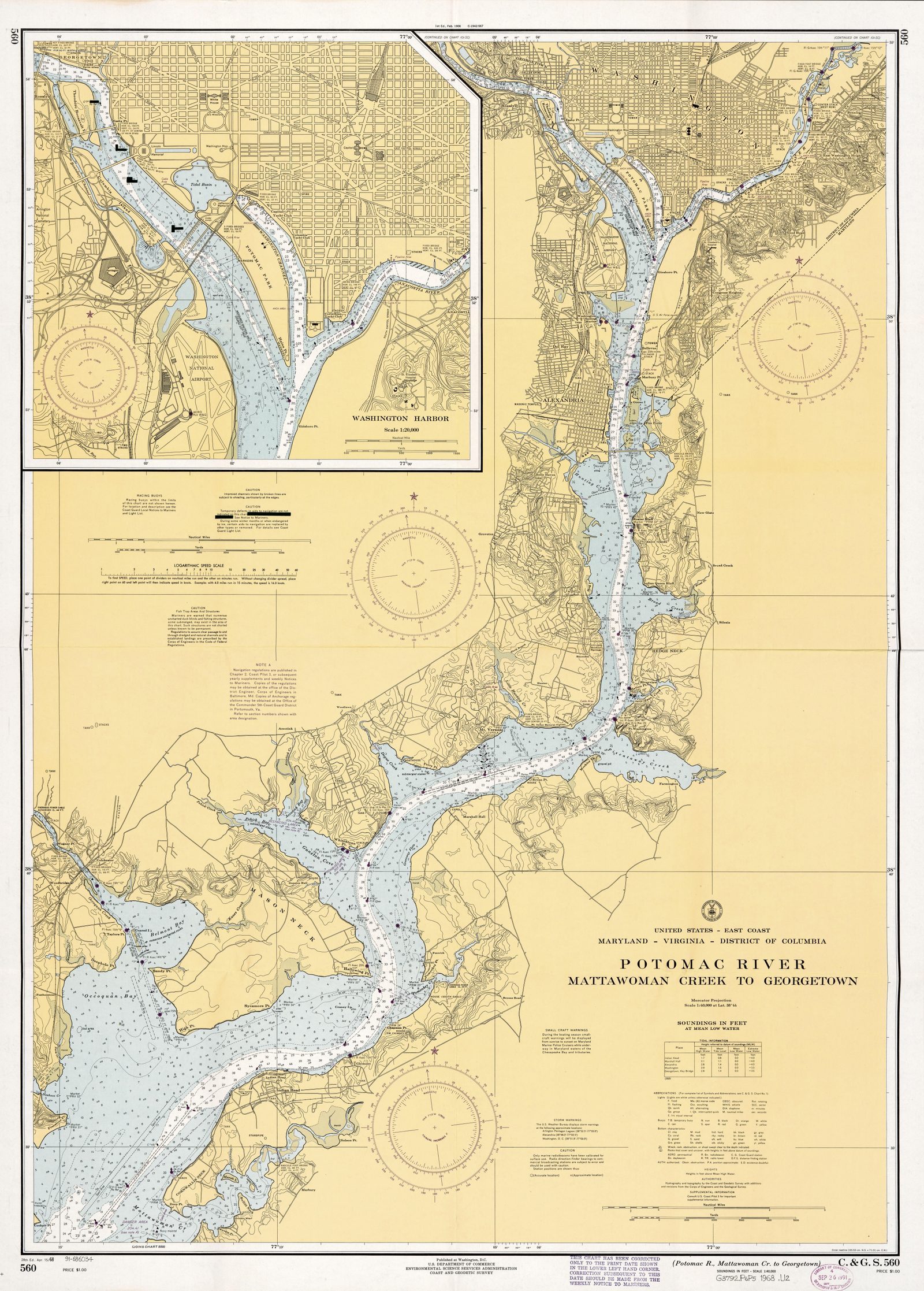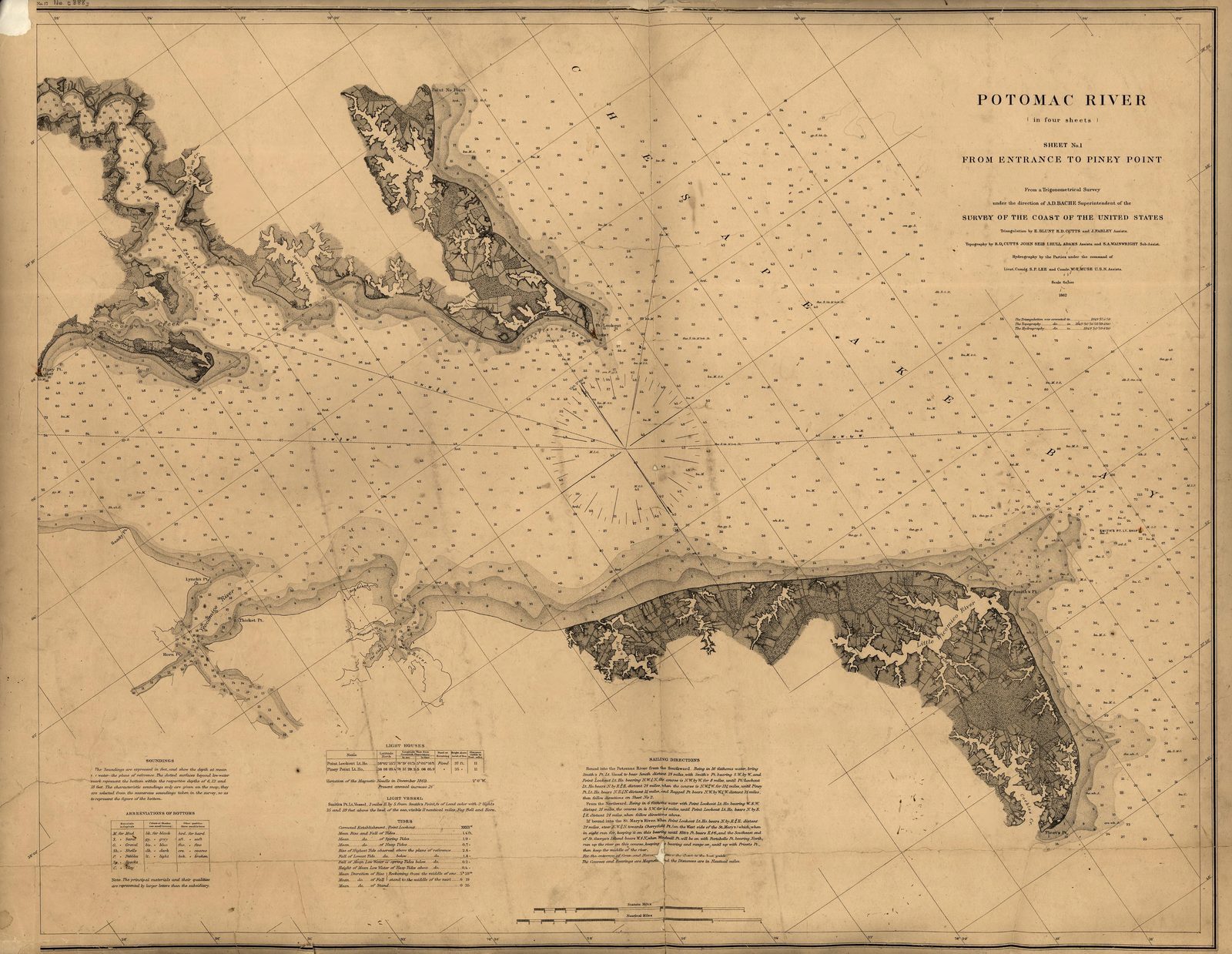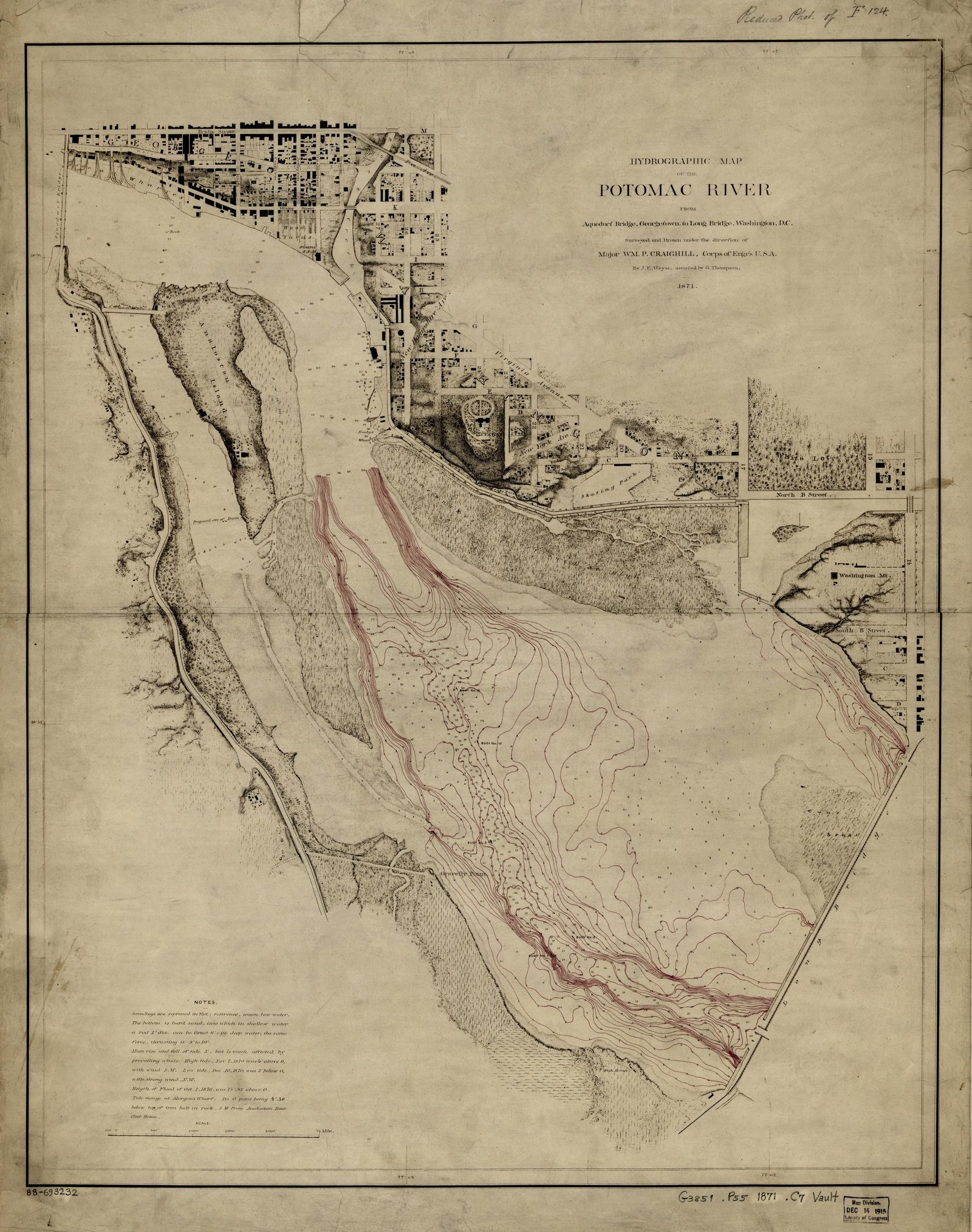
Potomac River 1871
1871 Potomac River Map Print - Vintage Map of Potomac River Washington DC Wall Art - Antique Nautical Chart Print
$7
Sold through our Etsy shop; the files download the moment the order goes through.
This map in every format
- Digital files — this page
- Matte poster — from $42.95
Vintage map print — Potomac River, District of Columbia, 1871. Digital download; you print it.
A restored 1871 nautical chart of Potomac River, District of Columbia. Shows soundings, shoals and the shoreline as the survey recorded them. Scanned from the Library of Congress, Geography & Map Division, cleaned up for printing while keeping the original linework and labels.
You get 5 print-ready JPEG files at 300 DPI, the moment you buy:
- 8x10 in (2.6 MB)
- 11x14 in (4.9 MB)
- 16x20 in (9.4 MB)
- 18x24 in (11.8 MB)
- 24x36 in (18.5 MB)
8x10, 11x14, 16x20, 18x24 are true 300 DPI from the original scan. 24x36 is enlarged to reach that size, which holds up framed but is not native resolution. I would rather tell you that than let you find out.
Sourced from public-domain records. No modern additions. The original scan is free to download from the Library of Congress, Geography & Map Division; what you are paying for is the restoration and the sized, print-ready files.
How to print: any print shop, online printer, or at home. Ask for matte paper or a cotton rag if they offer it. The files are RGB at 300 DPI with the density tagged, so a shop will size them without asking.
Digital download only. Nothing ships in the mail, and there is no frame.
Listing #4571813059 on Etsy · see it on Etsy