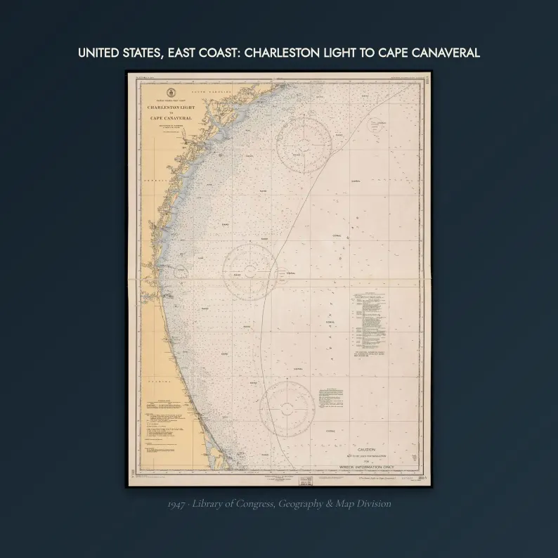
Charleston Light to Cape Canaveral 1947
1947 Charleston Light to Cape Canaveral Map Print - Vintage Map of Charleston Light to Cape Canaveral - Old Nautical Chart Digital Download
$7
Sold through our Etsy shop; the files download the moment the order goes through.
This map in every format
- Digital files — this page
- Matte poster — from $42.95
Vintage map print — Charleston Light to Cape Canaveral, 1947. Digital download; you print it.
Coast survey chart: United States, East coast: Charleston Light to Cape Canaveral.
WHAT YOU GET — 5 JPEGs at 300 DPI
- 8x10 in (1.7 MB)
- 11x14 in (3.1 MB)
- 16x20 in (6.4 MB)
- 18x24 in (9.1 MB)
- 24x36 in (16.2 MB)
Every size is a true 300 DPI from the original — nothing is enlarged.
WHAT I ACTUALLY DID TO IT
The library scan arrived with the scanner surround still on it and a century of grey in the paper. I trimmed the surround, stretched the tone back to warm paper, and took one pixel of scanner speckle off — the soundings stay sharp, the age stays in. Sold as wall art, not for navigation.
HONEST ABOUT THE SOURCE
The original scan is a public-domain record from the Library of Congress Geography & Map Division (a U.S. Coast Survey era chart, published before 1930). You could download it yourself for nothing. What you are paying for is the restoration and the sized, print-ready files — not access to the chart.
HOW TO PRINT IT
Any print shop, any online printer, or at home. Ask for matte or a cotton rag if they offer it. The files are RGB at 300 DPI with the density tagged, so a shop will size them correctly without asking.
NOT INCLUDED
No physical item is shipped. No frame. This is a digital download.
Listing #4571886604 on Etsy · see it on Etsy